
Route #1 (188.3m)
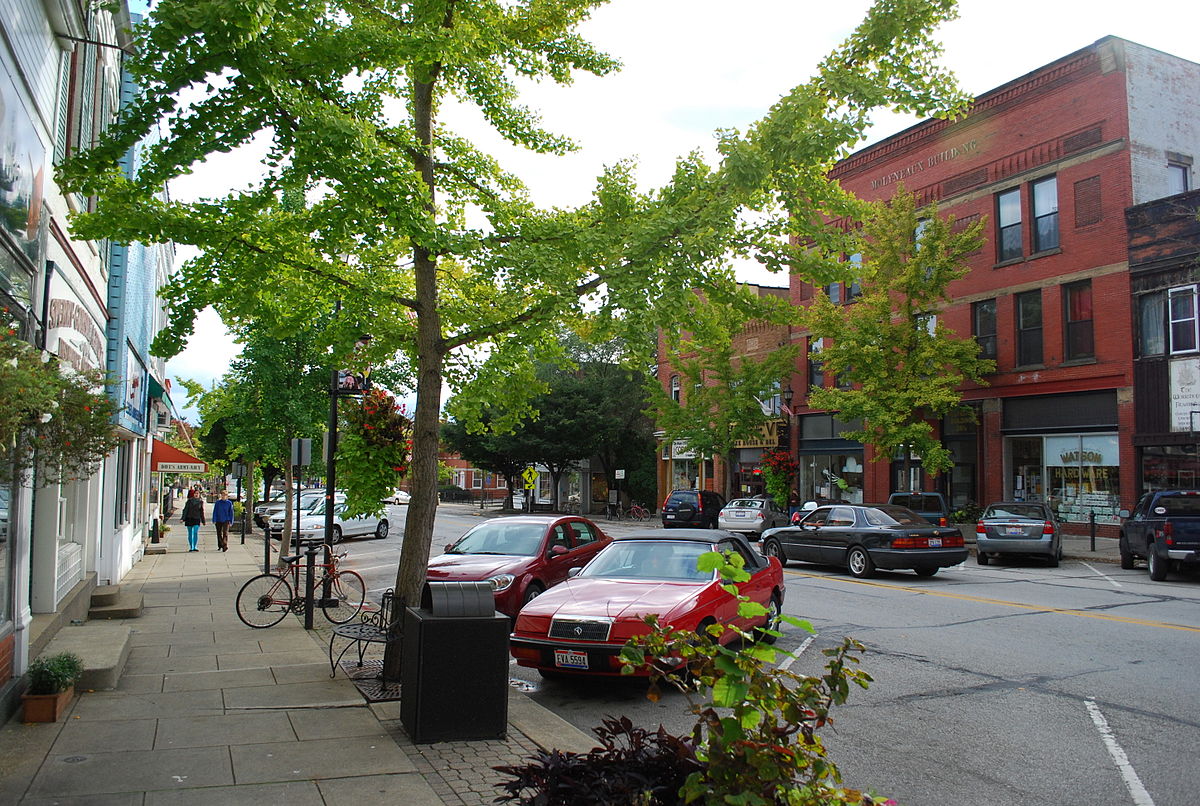
This route will take you through some of the small towns in Northern Ohio. You'll see some of
the more obscure places this state has to offer, including the town shown on the left, Oberlin, Ohio (image courtesy of
Weatherman1126 - Own work, Public Domain, Link
). This particular route lies at the medium-length. In total, this is about a 188.3 mile bike ride, with distance between checkpoints as short as
19.5 miles, and as long as 51.1 miles. This will surely take multiple days, perhaps even over a week. Do not feel the need to make it to
a new checkpoint each and every ride, as 51.1 miles, or even 16 miles, may be too much for you to do all at once. Take it at your own pace,
and do whatever works best for you. That said, it is encouraged for you to find other people to ride with (go to the "Connect" page under
"More" to learn how to do this), as this will make the overall experience more engaging and rewarding, as well as giving you a good community
to connect with.
Checkpoints
- Wooster (25.1m to next)
- Medina (25.9m to next)
- Hudson (20.3m to next)
- Hiram (19.5m to next)
- Chagrin (51.1m to next)
- Oberlin (46.4m to end)
How many miles have you ridden (This will be added to the total)?
0%
Oh no! You have not completed any miles!